
These are the roads I take to get to my house from Lin's. The one on top is the Guideboard Road, which is what the Peasleeville Road becomes. Remember the signpost in M*A*S*H that had names of cities and how many miles away they were? A guideboard is similar to that. They are a thing of the past, but when I was a kid there was a real live guideboard that was huge and official on one of the roads we traveled (not this one). It had two posts with boards nailed to both of them and names of towns painted by the Town of Black Brook and arrows pointing to which fork you should take to get to them. Forestdale, Bloomingdale, Silver Lake, Union Falls. Way cool.
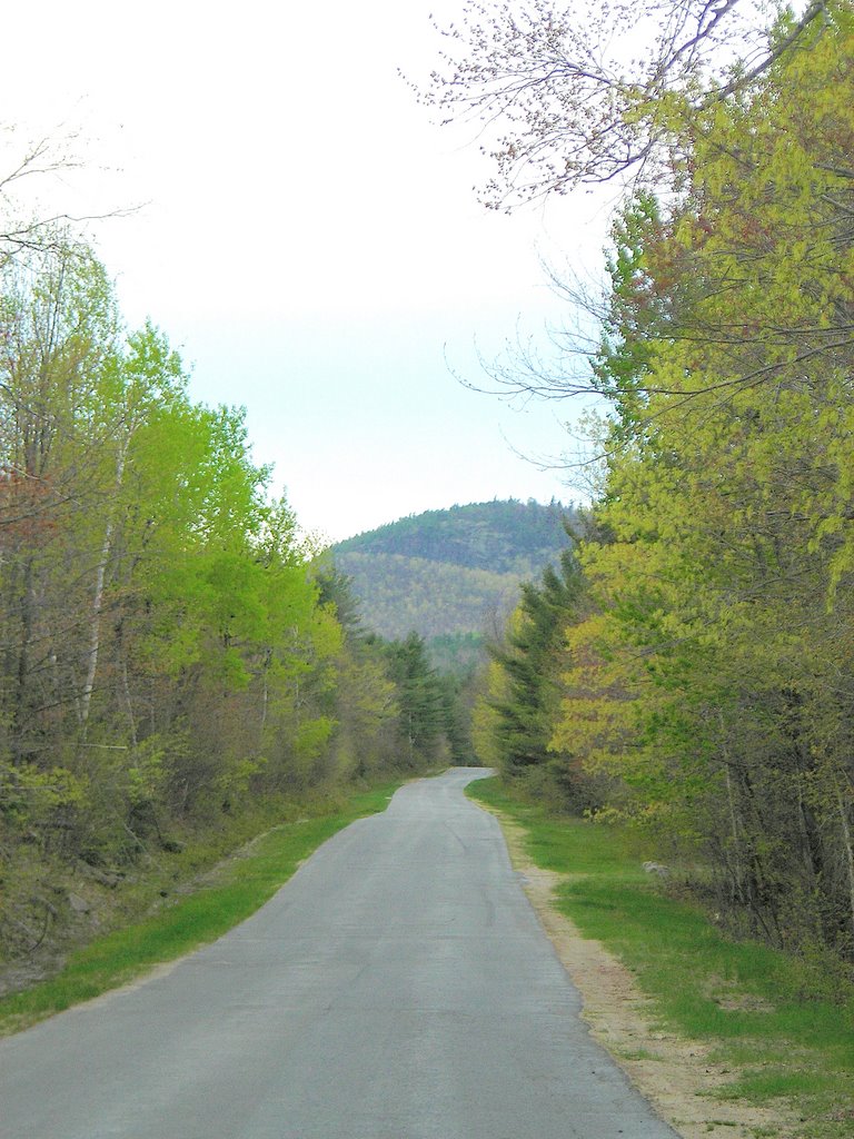
The road on the bottom is one we used to call the North Hill Road but has been renamed the Turnpike Road. It was paved about 7 or 8 years ago. It is really desolate and in the 13 years I've been driving it to Lin's house I've never encountered another car. I know how close I am to to the few houses on the road so that, in the winter if my car breaks down or runs off the road (by itself?) I will know how far I have to walk. The red trees in these pictures are maples--they're just starting to get their leaves. Sounds as if I'm describing small children just starting to walk, doesn't it.
No comments:
Post a Comment